This is the image from Johnston Ridge, we are five miles from the crater itself! In a book I bought, said that the flow from the mountain when it blew, hit the side of Johnston Ridge and went up and over the ridge I was standing on. You can see down the side of the ridge to the bottom!
Here's another shot from Johnston Ridge!
Who's this STUD?
This is my wife!
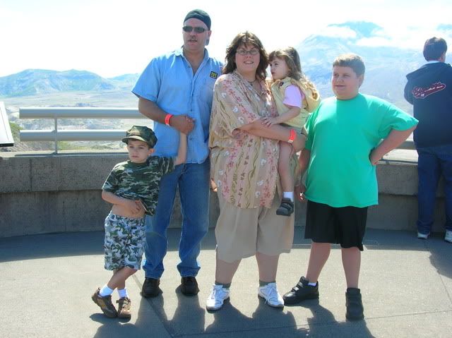
Here's the family!
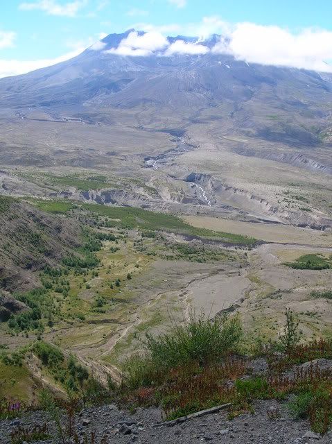
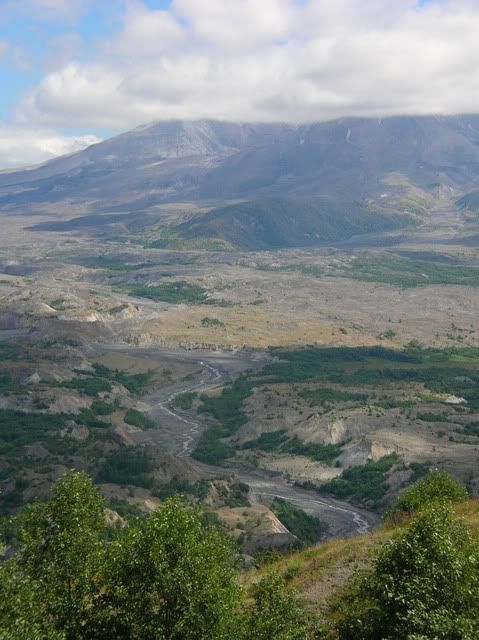
This is down stream from the Mountain, in the Toutle valley! You can see the debris build up and how the water is slowly carving it's way down through it! The debris is like several hundred feet thick there in the picture.
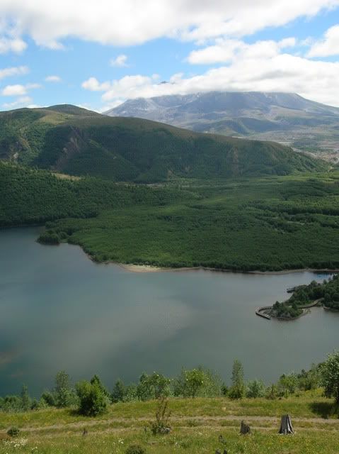
This is looking down from the Coldwater Ridge observatory onto Coldwater lake. Which was created during the blast. The green area in the middle of the pic is debris that built up in the canyon and created a damn like structure. We had our picnic down there along the lake!
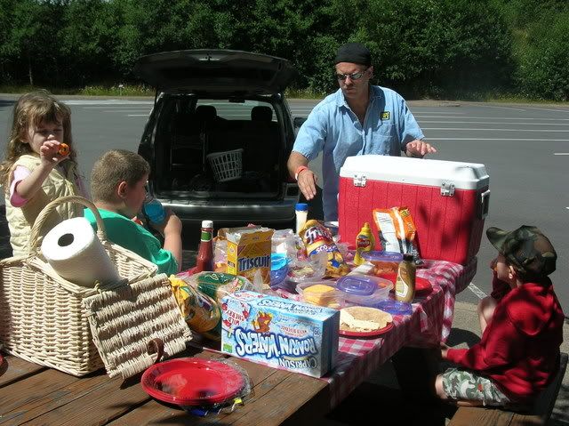
Speaking of picnic!
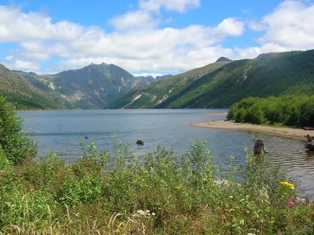
This is looking up Coldwater lake. If you look at the walls of the canyon, you can tell they were formed by glaciers, the smooth walls!
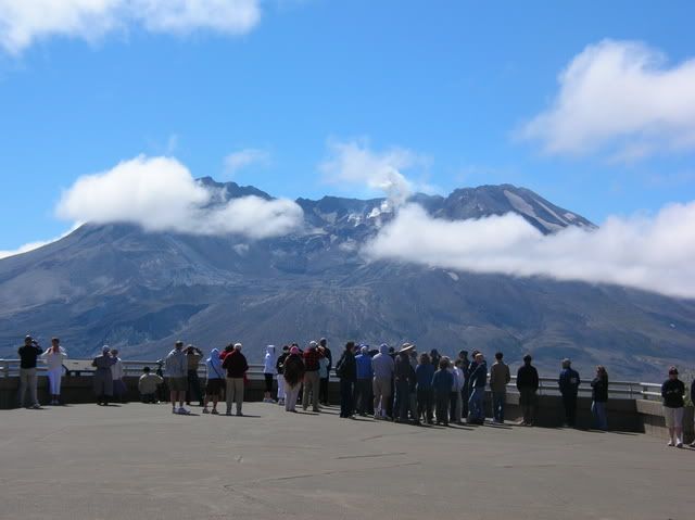
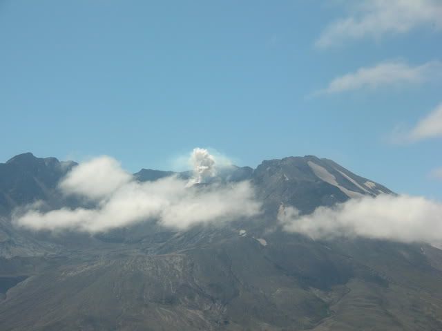
The mountain was steaming for us too!
It was a beautiful day to see the mountain. I pulled out some old photo albums and showed the kids some pics when I there the first time. It was August of 1982 when I went! And there was no green, just gray!
When we got there the clouds parted for us to see inside the crater, and shortly after the clouds moved in! I want to go back later and hopefully spend more time in the area and hike some of the trails!
We have more pics, but that is all my wife loaded onto photobucket, because photobucket was being picky!
Thank you for looking at my pictures.
I think that Minisimp would love to go and take pictures of the mountain!


